 GiftCoves
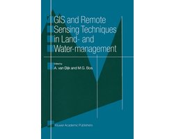
GIS and Remote Sensing Techniques in Land- and Water-management
bij 1 winkel
Verwant
Streepjescode: 9789401064927

Alle aanbiedingen
- bol.comGIS and Remote Sensing Techniques in Land- and Water-managementNaar de winkel€ 105,00Op voorraad
We verdienen mogelijk commissie als je via deze link koopt. Wat jij betaalt verandert niet.
Over dit product
Reliable information and clear data manipulation procedures are compulsory for monitoring and forecasting. Remote Sensing has considerable potential to provide reliable information. A Geographic Information System is an easy tool for manipulating and analysing the data in a clear and fast way. Managing land and water is a complex affair. Decisions must be made constantly to allocate and use natural resources. Decision and action in any use of resources often have strong interactions and side-effects on others, therefore it is extremely important to monitor and forecast the impacts of the decisions very carefully. Reliable information and clear data manipulation procedures are compulsory for monitoring and forecasting. Remote Sensing has considerable potential to provide reliable information. A Geographic Information System is an easy tool for manipulating and analysing the data in a clear and fast way. This book describes in seven practical examples how GIS and Remote Sensing techniques are successfully applied in land and water management.
Omschrijving aangeleverd door bol.com.