 GiftCoves
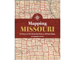
Mapping Missouri: A History of the Show-Me State in 40 Maps
bij 1 winkel
Verwant
Streepjescode: 9781681066752

Alle aanbiedingen
- bol.comMapping Missouri: A History of the Show-Me State in 40 MapsNaar de winkel€ 36,99Op voorraad
We verdienen mogelijk commissie als je via deze link koopt. Wat jij betaalt verandert niet.
Over dit product
Missouri is truly in the middle of it all. The state's place at the confluence of the Missouri and the Mississippi Rivers attracted Native Americans, French and Spanish fur traders, and American pioneers and settlers. Missouri became a nexus for travelers from the east, and the gateway to places further west, while at the same time 14 of the Western US states were carved from Missouri Territory. In the digital age, maps are more important and accessible than ever. Today, thanks to mobile devices, maps literally tell you where you are going. But maps were just as important in the past. They not only helped you navigate the world, but they also guided future plans and dreams. Historic Maps of Missouri by history writer Andy Hahn charts the growth of the state from its geological formation millions of years ago to the present day. The book is designed as a history but also as a guide to encourage the reader to visit and experience their own areas of interest. Let Missouri "show you" its beauty and significance.
Omschrijving aangeleverd door bol.com.