 GiftCoves
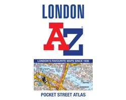
London A-z Pocket Atlas
dans 1 boutique
À voir aussi
Code-barres: 9780008846497

Toutes les offres
- bol.comLondon A-z Pocket AtlasVoir la boutique8,00 €En stock
Nous pouvons percevoir une commission si vous achetez via ce lien. Le prix que vous payez ne change pas.
À propos de ce produit
A pocket-sized, paperback street atlas of Central London and the surrounding areas in full colour.Covering an area extending from the centre of London to: Brent Cross, Golders Green, Highgate,Finsbury Park, Stoke Newington, Leytonstone, Wanstead, West Ham, Thames Flood Barrier, Eltham,Grove Park, Catford, Streatham, Wimbledon, Barnes Bridge, Willesden Junction, Neasden.Highlights include:- Large scale 3 inches to 1 mile map- Index to more than 35,700 streets- Additional street map section of the inner London area which extends north to Regent's Park and Shoreditch, south to London Victoria station and Lambeth, west to Hyde Park and east to Tower Bridge- One-way streets are featured on both scales of street mapping- Congestion charging zone boundary is shown on both scales of mappingThe comprehensive index lists streets, selected flats and walkways, selected places of interest, place, area and junction names.Previously published as London Mini A-Z Street Atlas.
Description fournie par bol.com.